St. Louis Metro District - Missouri Dept. of Transportation, 1590 Woodlake Drive, Chesterfield, Mo. 63017 - The New I-64 Project, Leslie Solinger Hoffarth, P.E., Project Manager
Concept drawings and photographs taken by Theresa Marie Bextermiller, R.A., M.F.A. from 2001 to present shown on this page were paid for from my own resources. Property at 1120 Blendon Place is my address, in the Washington University neighborhood, on the city/county line, and was of concern, since I moved into this area in Nov. 1996.
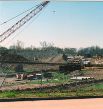
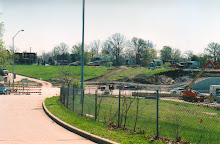
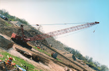
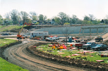
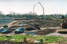
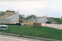
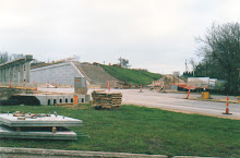
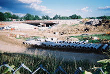
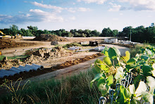
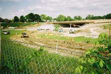
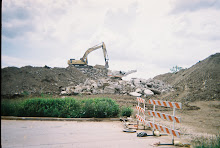
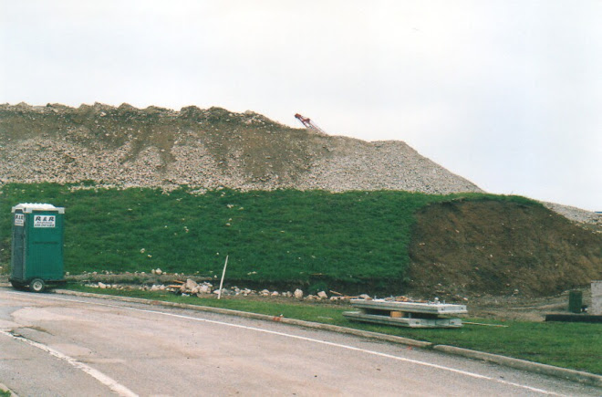
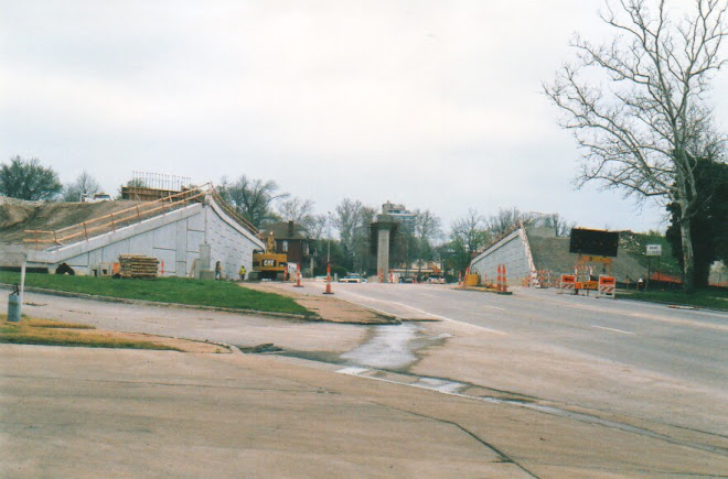
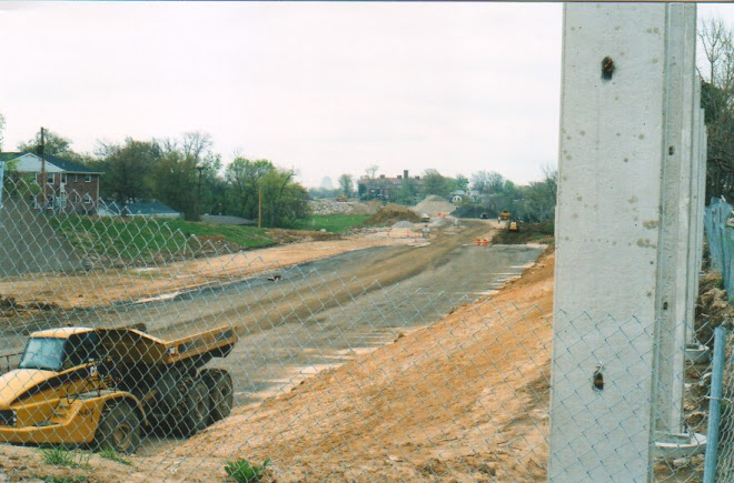
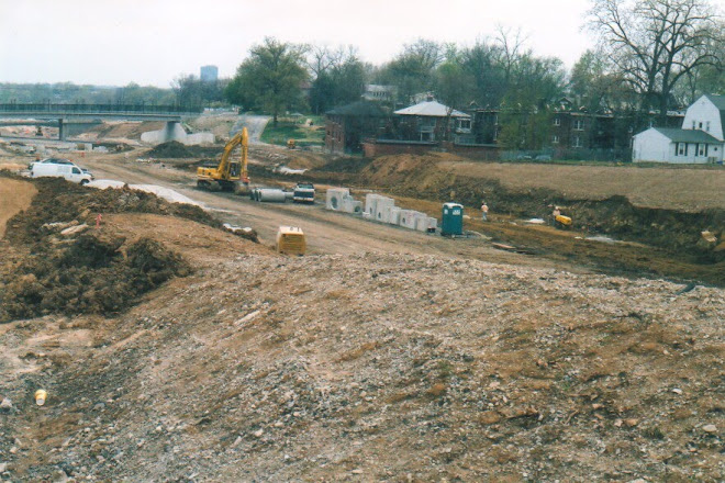
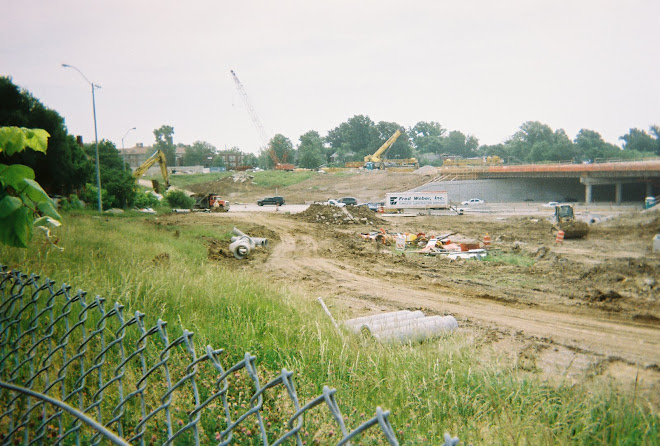
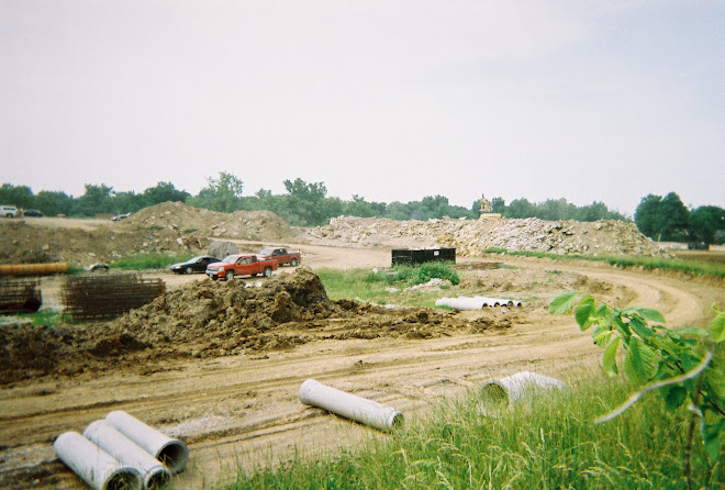
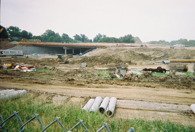
The New I-64 Parkway section extends from Hwy. I-170 on the west, to Kinghighway/Tower Grove on the east.
Tamm Avenue bridge was demolished and rebuilt, reopened October 20, 2007; Hampton Avenue bridge reopened May, 2009.
The most recently completed bridges are Hanley Road, completed Friday, July 31st and Oakland Avenue, completed Monday, August 3rd.
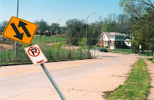
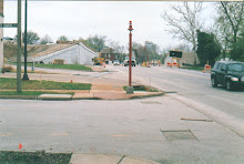
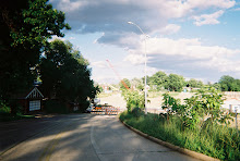
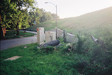
There has been attention given to the Berthold Avenue design, by Alderman Mr. Bill Waterhouse, city of St. Louis. The cul-de-sac designed for Berthold Avenue, which would replace the ramp/road onto westbound Hwy. 40/64, was in debate. Gates at the north end of Blendon Place and Yale Avenue are owned by Richmond Heights, one is always closed. The intersection of Ethel Avenue and Blendon Place has been grassed and treed, and was written to be cleared and opened for traffic, in at least one direction.
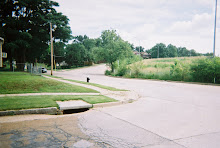
Alley access onto Blendon Place has always been illegal. Alley access from Blendon Place out to Ethel Avenue, McCausland Avenue can only be more illegal and a danger.
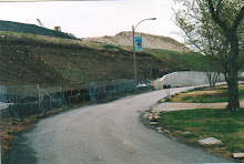
Wise Avenue is only located in the city of Richmond Heights, where Berthold Avenue intersects this street. The city/county line is so close to the end that no houses there have city utilities or services, but are claimed by the county. This is known.
To make the distinction here even less noticeable, the city of Richmond Heights has brought up a request for money to buy trash containers for every property in the city, so that, in looking at the street, no one would be able to tell which is city and which is county property. The trash containers are clearly a marker. Only the city of St. Louis has provided trash containers for years - not the county.
Assessment differs clearly on Blendon Place - the city of Richmond Heights has estimated that their properties are worth, on the average, $50,000 more than the city properties, located adjacent to them.
A noise study was done here? Sound walls were never considered, and I was told the change in grade would be great enough to muffle the sound of the highway. A seismic test was done here? Our insurance companies would have been interested to know the results, because I have cracks in my ceiling from borings driven for the new overpass bridge.
This is a small, residential neighborhood, located near major streets and important businesses. The Clayton/Oakland/Skinker interchange, near the main McCausland interchange, could use walking stripes on the roads, walk signals, especially near Forest Park. Parking is a question, and some area needs to be allocated for through traffic who are lost or looking. I proposed a truck stop/gas station, with parking, for the area.
*** Please notice, that this work was done in 2001, prior to the residential demolition done on Hanley Road, where the new Walmart was built, and the new Lowe's, and surrounding stores, gas station. There is now overnight truck parking on the Walmart parking lot, and a gas station adjacent to Walmart.***
This would include, also, a bus stop and a "Stop at the Line" restaurant. As an entrance into the city, I saw this interchange an important place. For those leaving, I saw this interchange an important stop to collect your thoughts, gas and check the vehicle, and get something to eat. There was no marker on the old Hwy. 40/64, telling motorists they were "now in the city of St. Louis" or "now leaving the city of St. Louis". For an area so interested in being known and becoming famous, doing development and redevelopment, planning BIG, and building BIG residences, this fact is outstanding. The city of St. Louis sits on a vast prairie, with miles of flat land to the east and west, and the Mississippi River and the Missouri River confluence as the point of beginning. Motorists notice the location.
I did.
Subscribe to:
Post Comments (Atom)
No comments:
Post a Comment